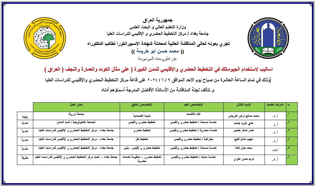
اساليب لاستخدام الجيوماتك في التخطيط الحضري والاقليمي للمدن الكبيرة (على مثال الكوت والعمارة والنجف ( العراق ) ) Methods for using geomatics in urban and regional planning for large cities (example: Kut, Amara and Najaf (Iraq))مناقشة
→
Asia/Baghdad
مركز التخطيط الحضري والاقليمي للدراسات العليا
مركز التخطيط الحضري والاقليمي للدراسات العليا
, , ,
Description

للطالب محمد حسن ابو خريمة
يشرف عليها الاستاذ الدكتور كريم حسن علوان / عميد مركز التخطيط الحضري والاقليمي للدراسات العليا
هدفت الأطروحة الى دراسة الارباك الحاصل في المناطق الحضرية مثل الكوت والنجف والعمارة، بسبب النمو السكاني السريع غير المنسجم مع الامكانات المحدودة للموارد في تلك المحافظات، والبحث عن سبل لتحسين نوعية وكفاءة حياة السكان عبر الاستخدام الأمثل للاراضي دون المساس بحالتها الايكولوجية عن طريق وضع منهجية التخطيط الحضري لتقييم استدامة اراضي المدن الكبرى باستخدام اساليب وتكنولوجيات نظم المعلومات الجغرافية.
For the student Muhammad Hassan Abu Khreima
Supervised by Professor Dr. Kareem Hassan Alwan / Dean of the Center for Urban and Regional Planning for Graduate Studies
The thesis aimed to study the confusion in urban areas such as Kut, Najaf and Amara, due to the rapid population growth that is not consistent with the limited resources in those governorates, and to search for ways to improve the quality and efficiency of life of the population through the optimal use of land without compromising its ecological condition by developing an urban planning methodology to evaluate the sustainability of the lands of major cities using methods and technologies of geographic information systems.
شعبة التسجيل لمركز التخطيط الحرض والاقليمي للدراسات العليا
The agenda of this meeting is empty